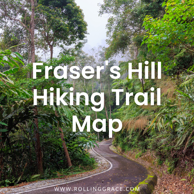
The Gap Road climbs through dense rainforest in near silence, the air cools before you have registered the altitude change, and by the time the clock tower appears through the mist, the lowlands feel far away.
Sitting across seven hills along the Pahang and Selangor border, roughly 105 kilometres north of Kuala Lumpur, Fraser’s Hill operates at around 1,500 metres above sea level where daytime temperatures hold between 18 and 25 degrees Celsius and drop sharply after dark.
It is one of the least commercialised highland destinations in Peninsular Malaysia, which is precisely its appeal. The forest here is intact, the trails are old, and the birdwatching is among the best on the peninsula.
This guide covers all eight established hiking trails at Fraser’s Hill, what to expect on each one, and how to plan a visit properly.
Read also: 5 Bukit Sri Bintang Trail Highlights: Kepong Hiking Guide
Table of Contents
History of Fraser’s Hill
The hill takes its name from Louis James Fraser, a Scottish adventurer who pushed into these unexplored highlands in the early 1890s searching for gold. He found tin instead, and subsequently disappeared in 1917 under circumstances that were never fully explained. A search party sent to find him stumbled across the highlands and recognised their potential as a colonial retreat. Reverend CJ Ferguson-Davie recommended the site to the British government for development that same year, and the hill station was built in the years that followed.
The trails were originally functional: paths connecting colonial bungalows, administrative buildings, and the residences of British officials. The names they carry now belong to the engineers and administrators who shaped the hill during that period. Walking them is a specific kind of history lesson.
How to Get to Bukit Fraser
Fraser’s Hill is accessible by car via the Gap Road, a narrow and winding single-lane route that operates on a timed one-way system: traffic goes up during certain intervals and down during others.
The gate schedule alternates every hour on the hour for uphill traffic, and on the half-hour for downhill. Check current timings before you leave, as arriving outside the window means waiting at the bottom.
From Kuala Lumpur
The drive takes approximately two to two and a half hours. Take the North-South Expressway northbound toward Ipoh, exit at Kuala Kubu Bharu, and follow the signs toward Bukit Fraser from there.
There is no direct bus service to the hill. The nearest bus stop is in Kuala Kubu Bharu town; from there, a taxi up to the summit is the only option for those without a car.
Top 8 Fraser’s Hill Hiking Trails
Bishop Trail
The most walked trail on the hill carries the name of Reverend CJ Ferguson-Davie, the bishop who first recommended Fraser’s Hill for colonial development in 1917. His original purpose for the path was straightforward: a connection between his cottage and the nearby Muar and Cicely bungalows. It has since become the standard introduction to hiking at Bukit Fraser.
The trail covers 1.5 kilometres through forest with genuine elevation changes in both directions. The canopy is dense and the path is well-defined, though muddy sections and leeches are common, particularly after rain.
Birdwatching along this stretch is rewarding. At its far end, the trail connects to Jalan Lady Maxwell, where it intersects with Maxwell Trail and loops back toward town. It is one of the Fraser’s Hill hiking trails suitable for a day trek.
Allow the full ninety minutes rather than rushing it.
- Difficulty: Moderate
- Duration: 1 hour 30 minutes
- Distance: 1.5 kilometres

Mager Trail
Named after FW Mager, the British engineer who oversaw Fraser’s Hill’s initial construction from 1918, this is the shortest trail on the hill at 350 metres. Mager surveyed the land, planned the bungalow sites, and completed the Gap Road in 1921 before leaving to work as a state engineer in Perak shortly after. The road he built remains the only way in or out of Fraser’s Hill.
The trail itself functions more as a forest connector than a dedicated hike, ending near the Gap Road exit just before the town centre. It pairs naturally with the Abu Suradi Trail immediately before it, and is worth combining rather than walking alone. It is among the Fraser’s Hill hiking trails that draw visitors to the area.
- Difficulty: Easy
- Duration: 10 minutes
- Distance: 350 metres
Pine Tree Hill Trail
The hardest route on Fraser’s Hill by a significant margin. Pine Tree Hill is a 5.5-kilometre trail that climbs across multiple ridges and summits before reaching the peak at approximately 1,448 metres above sea level. The trailhead is accessible from High Pines Road, just before the bungalow near Seri Intan.
Note that a permit from the Pahang Forestry Department is required before hiking this trail. Obtain it in advance through their official website.
The trail takes its name from the five indigenous dacrydium conifer species that once grew at the summit. These are now largely gone from the peak, with only scattered remnants remaining. The terrain involves steep climbs, fallen branches, root-covered sections, and rope-assisted ascents on the sharper faces.
On clear days at the top, the surrounding ridges and forest extend across an unobstructed horizon. The seven-hour duration is not an approximation: start early, carry sufficient food and water, and do not treat this as a casual addition to a day trip. It remains a popular choice among the Fraser’s Hill hiking trails.
- Difficulty: High
- Duration: 7 hours
- Distance: 5.5 kilometres
Hemmant Trail
The trailhead sits in a grassy clearing behind the mosque along Genting Road, directly opposite the Abu Suradi trailhead. Hemmant is one of the most accessible walks on the hill: the first quarter involves a modest ascent, which then flattens into an easy path running along the edge of the Fraser’s Hill Golf Course through tall trees and dense shrubs.
The final stretch is the one to prepare for. As the trail approaches its exit at the junction between Muar Cottage and Glen Bungalow, the ground gets muddier and leeches become a more frequent presence. Long trousers tucked into socks, or leech socks if you have them, are worth wearing from the start rather than scrambling at the end.
The trail takes around 35 to 40 minutes at a relaxed pace and requires no particular fitness level. It continues to be one of the Fraser’s Hill hiking trails visited by hikers.
- Difficulty: Easy
- Duration: 35 minutes
- Distance: 1 kilometre
Abu Suradi Trail
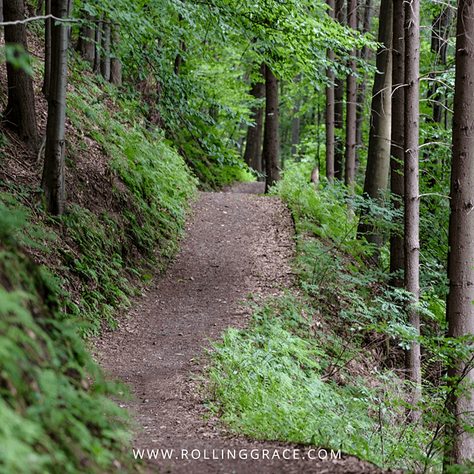
A 500-metre trail suited to hikers of every age and fitness level. Abu Suradi begins along Genting Road across from the mosque, opposite the Hemmant trailhead, and climbs through a moderately steep incline before levelling onto a wide and navigable path.
The trail is named after the first recipient of a mining lease for Pamah Lebar, who operated a tin mine in the area from 1899 until his lease was cancelled in 1902. Buttressed tree roots and occasional muddy patches appear along the route but leeches are rare here compared to Hemmant and Maxwell.
The trail ends where the Mager Trail begins, making the two an easy and logical pairing for a short combined walk of under thirty minutes. It is often recommended when exploring Fraser’s Hill hiking trails.
- Difficulty: Easy
- Duration: 15 minutes
- Distance: 500 metres
Kindersley Trail
At 300 metres, Kindersley is the shortest trail on the hill. It begins at the playground beside the Parr Bungalow at a junction and climbs to a paved road leading toward the Methodist Bungalow. The gradient is steeper than the distance implies; this is a hilly climb rather than a flat forest walk, with herbs, low shrubs, and small flowering plants visible along the route.
The trail was first opened in 1919 to give British officials a walking route between their residences and the Methodist Mission, and is named after RCM Kindersley, a member of the original Fraser’s Hill Development Committee. Short enough to slot into any morning without disrupting the rest of the day. It is one of the Fraser’s Hill hiking trails known for its scenery.
- Difficulty: Easy
- Duration: 10 minutes
- Distance: 300 metres
Maxwell Trail
The least visited trail on the hill, and for understandable reasons. Maxwell is 1.8 kilometres of dense, dark forest with muddy terrain, fallen trees, and a well-documented leech population throughout. The entrance lies along Quarry Road near the exit toward Kuala Lumpur, adjacent to SJK (Tamil) Bukit Fraser. It connects to Bishop Trail at Jalan Lady Maxwell, offering a route back to town.
The trail is named after Sir William George Maxwell, Chief Secretary of the Federated Malay States, who was notable beyond his administrative title for contributions to education. One end of the trail sits beside the hill’s oldest school; the other intersects with Bishop Trail at the signpost directing hikers toward Muar Cottage.
Carry salt, tuck everything in, and accept that this one gets properly wild in the second half. The atmosphere is the deepest and most isolated of any trail on the hill. That is either the appeal or the reason to skip it, depending on your threshold. It is often included in lists of Fraser’s Hill hiking trails.
- Difficulty: High
- Duration: 1 hour 30 minutes
- Distance: 1.8 kilometres

Rompin Trail
Rompin was created in the late 1980s by residents of the Taman Sungai Hijau Flats who needed a shortcut into town, replacing a much longer walk along the dirt road past the Smokehouse Hotel. It covers 500 metres of steep descent and ascent through forest on a slope, with ropes, wooden fences, and railings installed along the more demanding sections.
The short distance is deceptive. The gradient makes it more physically demanding than the numbers suggest, and wet ground turns the walkway hazardous. If rain is forecast or the path is already damp, leave Rompin for a dry day. It is one of the Fraser’s Hill hiking trails for visitors exploring the area.
- Difficulty: Easy
- Duration: 15 minutes
- Distance: 500 metres
Other Nearby Attractions
Jeriau Waterfall
Jeriau Waterfall sits roughly four kilometres from the town centre, down a steep and narrow road past the Smokehouse.
It is a straightforward stop after a morning on the trails, though the access road closes during the monsoon season between October and March. Confirm it is open before making the drive down.
Ye Olde Smokehouse
Ye Olde Smokehouse is a colonial-era institution on the hill serving afternoon tea with scones. It is not subtle about what it is, which is part of the point.
Fraser’s Hill Bird Interpretive Centre
Fraser’s Hill Bird Interpretive Centre at the Sports Complex opposite the town roundabout documents the over 270 bird species recorded on the hill, including significant migratory populations from Japan, China, and Russia that pass through between June and July.
Entry is free. Opening hours on weekdays require checking with Puncak Inn, which doubles as the tourist information centre and can also provide trail maps.
Fraser’s Hill International Bird Race
The annual Fraser’s Hill International Bird Race draws serious birdwatchers from across the region and is the hill’s most prominent annual event.
Planning Your Visit
A single day covers two or three trails comfortably with time for the waterfall and a meal. An overnight stay is worth it if you want to hike at dawn, when the forest is coolest and birdwatching conditions are at their best.
Pack layers regardless of the season: the temperature drops sharply after dark and stays cool through the morning. Trail shoes with grip are preferable to standard trainers on the muddier routes. For Hemmant, Maxwell, and any trail after rain, leech socks or long trousers tucked into socks are not optional. Carry salt. Bring more water than you think you need.
Dining options on the hill are limited and several operate on weekends only. Kedai Makan Hamzah next to the mosque is the reliable breakfast stop before hitting the trails.
Visitor Information
- Location: Bukit Fraser, 49000 Raub, Pahang, Malaysia
- Distance from KL: Approximately 105 kilometres, 2 to 2.5 hours by car
- Access: Via Gap Road one-way timed gate system. Uphill on the hour, downhill on the half-hour.
- Pine Tree Hill permit: Required from the Pahang Forestry Department. Obtain in advance.
- Trail maps and information: Puncak Inn, by the town roundabout
- Best time to visit: March to September. June and July for migratory birds.
Frequently Asked Questions onn Fraser’s Hill Hiking Trails
- How do I get to Fraser’s Hill from Kuala Lumpur? By car via the North-South Expressway to the Kuala Kubu Bharu exit, then follow signs toward Bukit Fraser. The drive takes approximately two to two and a half hours. There is no direct bus to the hill; the nearest stop is Kuala Kubu Bharu town.
- Which Fraser’s Hill trail is best for beginners? Abu Suradi and Kindersley are both short and manageable for first-time hikers. Hemmant offers a longer easy walk and is one of the most popular trails on the hill for families.
- Do I need a permit to hike Fraser’s Hill? Most trails require no permit. Pine Tree Hill is the exception: a permit from the Pahang Forestry Department must be obtained in advance before hiking it.
- Are there leeches on the trails? Yes, on several routes. Hemmant, Maxwell, and any trail after rain are the most leech-prone. Wear long trousers tucked into socks or leech socks, and carry salt.
- What is the hardest trail at Fraser’s Hill? Pine Tree Hill Trail, at 5.5 kilometres with a seven-hour return time across multiple ridges and steep rope-assisted climbs.
- What else is there to do at Fraser’s Hill besides hiking? Birdwatching is the main draw alongside the trails. Jeriau Waterfall is worth the drive down if it is open. The Bird Interpretive Centre at the Sports Complex is free. Ye Olde Smokehouse does afternoon tea.
Get the good stuff first. Join Rolling Grace for the restaurants worth crossing a city for, the stays worth the upgrade, and the places to go before everyone else. Free, straight to your inbox.
Leave a Reply